
01
Public-space safety
Flag configured crowd, loitering, left-object, and restricted-area events for review.
Urban operations
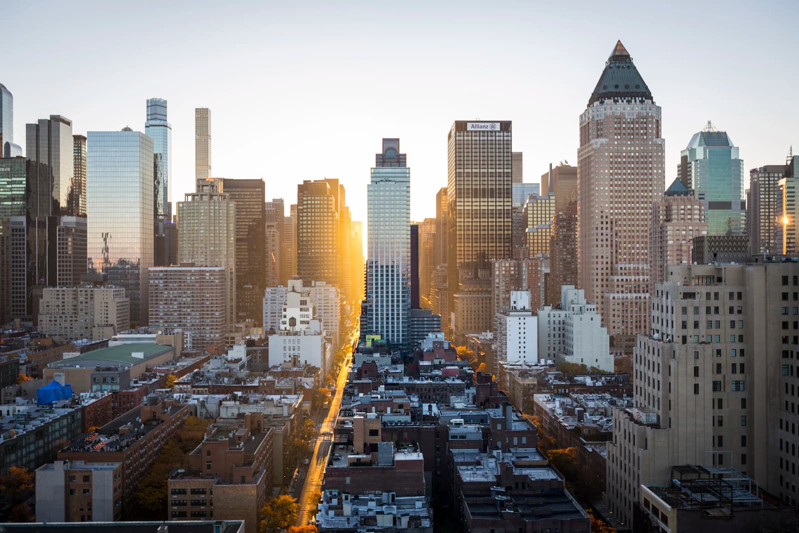
Use compatible camera networks to review traffic, crowding, parking, and visible safety events across public spaces.
Flag configured crowd, loitering, left-object, and restricted-area events for review.
Count and classify vehicles to understand congestion by road, direction, and time.
Bring the relevant cameras, times, and locations together when a team investigates an event.
The operational layer
Review configured events from intersections, parks, parking areas, and transit hubs in one place.
One view for the people, places, and exceptions that need attention next.
City video search
Search authorized camera archives with a natural-language description or reference image. Review the matching vehicles, objects, and events by time and location.
Describe a person, object, place, or event in plain language.
4 matching sightings found
 99% match62% match24% match11% match
Capabilities
Identify unattended bags or packages in public spaces, transit hubs, and critical infrastructure.
Flag people who remain in configured public or restricted areas beyond a set time.
Measure crowding at events, squares, and stations so teams can manage movement and capacity.
Where law, policy, and approved watchlists permit it, route possible matches for human review.
Natural language search to find specific events, objects, or behaviors across city-wide footage.
Upload a reference image to locate specific individuals or vehicles across the network.
Read configured license plates and attach the time, camera, and location for authorized workflows.
Estimate speed from calibrated camera views and route possible violations for review.
Flag visible smoke or flame and route the footage to the team responsible for the response.
Flag possible smoking events in configured public areas and transit locations.
Accurate footfall counting and path analysis for urban planning and retail intelligence.
Monitor dwell times in parking zones to enforce limits and improve turnover.
Track occupied spaces in configured parking lots and street zones.
Automated vehicle counting across multiple lanes for detailed traffic density reporting.
Distinguish between cars, trucks, buses, and motorcycles for granular traffic data.
Next step